Blog Network
Champlain Library Blog
WHAT'S GOING ON AT THE CHAMPLAIN COLLEGE LIBRARY
Menu
Skip to content
Home
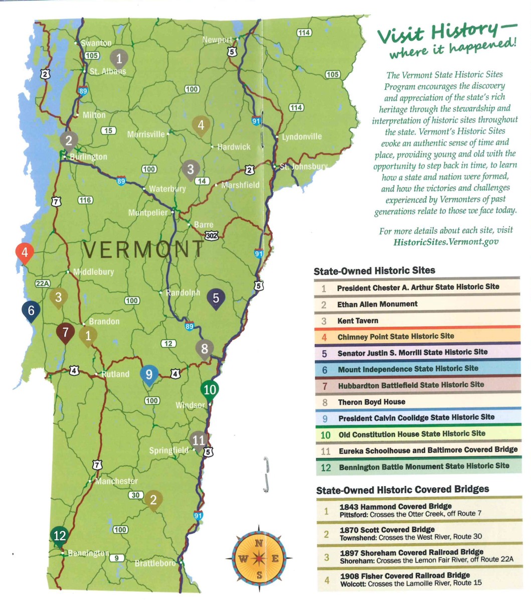
Vermont State Historic Sites Map
Vermont State Historic Sites Map